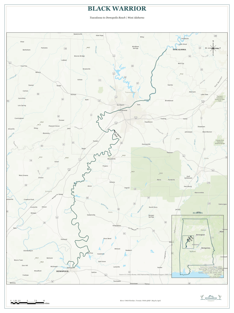
This map follows the Black Warrior River from Tuscaloosa to Demopolis in west Alabama. An Alabama locator inset shows where this mapped reach sits within the state and makes clear that the map focuses on one section of the larger river.
I used ArcGIS Pro to map the river from USGS flowline data over a USGS topographic basemap. A deep teal line with a cream casing highlights the river, while the city labels, scale bar, and north arrow help orient the reader.
The Black Warrior River extends far beyond this view. Pairing a close look at the Tuscaloosa-to-Demopolis reach with an Alabama locator gives viewers local detail while showing where this stretch belongs in the larger river system.

