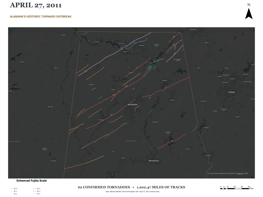
This map traces the 62 confirmed tornadoes that crossed Alabama on April 27, 2011. The tracks are colored by Enhanced Fujita rating, from EF0 through EF5, and together represent 1,202.47 miles of mapped paths.
I created the map in ArcGIS Pro using National Weather Service Birmingham tornado-track data. Distinct colors show each EF class, while labels identify the major EF4 and EF5 tornadoes. A dark basemap and gold Alabama outline provide geographic context.
Viewed together, the tracks show the outbreak’s reach across Alabama. This map offers a visual record of the event and a way to explore where tornadoes traveled and how their ratings varied.

