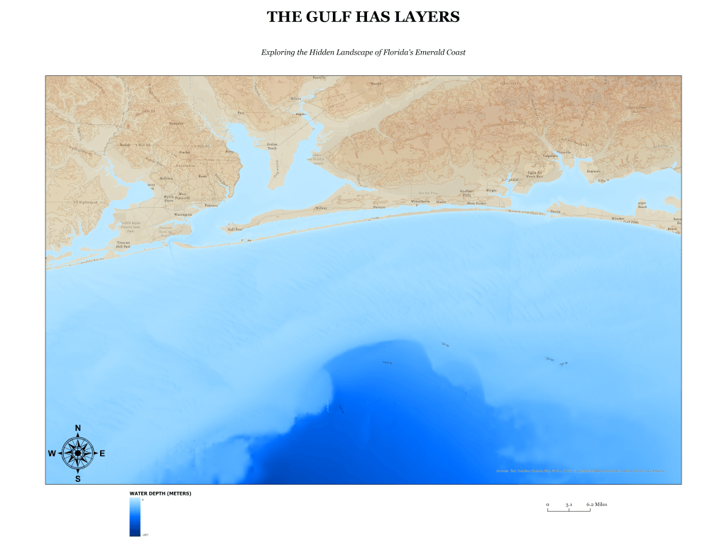
The Gulf Has Layers explores the hidden underwater landscape of Florida’s Emerald Coast, where the familiar shoreline gives way to a remarkable world beneath the Gulf of Mexico. Stretching along the coast from Pensacola toward Destin, this vintage-inspired map combines warm, earth-toned land elevations with vivid blue bathymetric relief to reveal the changing depths and contours of the seafloor.
Created in ArcGIS Pro using NOAA coastal relief and bathymetric elevation data, this map combines multidirectional hillshading, depth contours, and carefully selected color gradients to visualize the terrain above and below the water. Python was used to develop custom water textures and support raster processing, adding depth and visual detail to the finished composition. The result blends geographic data analysis with traditional cartographic design techniques.
The Gulf Has Layers demonstrates how geospatial technology can transform scientific elevation data into an engaging visual story. By combining bathymetric analysis, custom textures, and vintage-inspired cartographic design, the map invites viewers to look beyond Florida’s familiar beaches and discover the complex underwater landscape just offshore. The project reflects an approach to cartography that balances geographic accuracy, technical analysis, and artistic expression.

