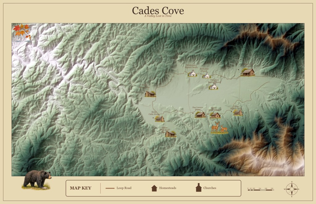
Cades Cove — A Valley Lost in Time is an illustrated historical map of one of the most popular landscapes in Great Smoky Mountains National Park.
Created in ArcGIS Pro, the map combines custom shaded-relief terrain, historic landmark locations, the Cades Cove Loop Road, and watercolor-style illustrations of preserved cabins, churches, and wildlife. A vintage parchment design reflects the valley’s rich history while highlighting the surrounding mountain landscape.
The project explores how cartography can bring geography and history together, transforming spatial data into a visual story of place.

